| Day # | 14 | State of Legs | :-) |
| Distance (miles) | Distance (km) | Ascent (feet) | Ascent (metres) | Punctures | |
| Today | 0 miles | km | 0 feet | metres | 0 |
| Trip Totals | 666 miles | km | 26855 feet | metres | 0 |
Travelogue
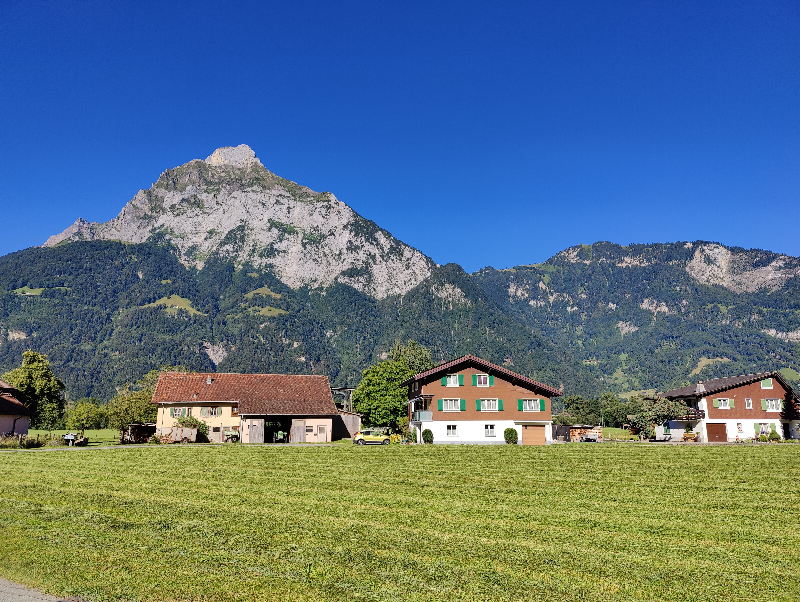
Once again, today is about rest and relaxation. But more than anything, it's about preparation.
One of the most exciting parts of my route starts tomorrow. I plan to cross the Swiss Alps to Italy, no mean feat on a heavy touring bike like mine. Have I mentioned that the bike's heavy? Well it is.
Crossing the Swiss Alps is about more than ascending one mountain and descending down the other side. The mountain range is large and there are multiple climbs to tackle as you traverse them from one side to the other. From the bottom of the first major climb near my present location of Flüelen to the bottom of the last, a few miles beyond Bellinzona is about 100 miles. The profile of my entire route through Switzerland looks like this:

Flüelen is 8 miles from the bottom of the very obvious large climb and marked with the first red dot on the profile illustration. The town of Andermatt is indicated by the second red dot, several thousand feet about Flüelen. Bellinzona is indicated by the third dot and as you can see, it lies immediately before a substantial climb of around 2,000 feet, most of which takes place in only a few miles and therefore we must assume it is very steep. After that climb it's largely downhill to the Italian border.
I plan to cross the Swiss Alps and get to Italy in three days. Tomorrow I'll tackle the largest climb and aim to get to Andermatt where I will camp for the night. Hopefully my legs will recover in time for the next day where I'll complete the ascent and will include the old cobbled road, the Tremola on my way to the Gotthard Pass. It's almost entirely downhill from there for about 40 miles to Bellinzona. I'll camp for one night in Bellinzona, tackle the final big climb the next morning and hopefully enter Italy later that day.
I'll be following Swiss Cycling Network Route 3 (AKA Eurovelo EV5) all the way. But one issue with EV5 in Switzerland is that I have been unable to find an official GPS (GPX/KML) file for the route which I could use in my preferred navigation app, Organic Maps. I do have something which I found on one of the cycling web sites but I think it was made by a cyclist, perhaps recording their own journey. I've used it as I have cycled through Switzerland and mostly it was accurate in that it followed the route as indicated by physical signs but sometimes it deviated. The signs have been so good for the Swiss Cycling Network Routes that I've used them as my primary navigation aid and only looked at the app from time to time to check or clarify.
I've read a few accounts of people attempting this route and none of them particularly filled me with confidence. There were tales of difficulty finding the right way and getting lost, having to repeat climbs on already tired legs. The traffic sounds like it can be heavy and the roads can be narrow. On top of that, higher up there's a series of long tunnels to get through, cycling uphill and perhaps with a long line of angry car drivers stuck behind you! Here's one example: https://www.my-bicycling-adventure.com/Gotthard-Pass.html#content_40849665#day5
With that in mind, I really wanted to be sure about the route. I'd already found a website and mobile app called Swiss Mobility. The map and cycling routes are accurate but embedded. You can't export the GPS data for use in your own app. The app requires a mobile signal to work unless you pay 35 Swiss Francs for the "pro version". No thanks. The map is also incredibly busy and difficult to read.
Happily, yesterday I discovered another app called Swisstopo. It's provided by the Swiss Federal Office of Topography so the data can be relied upon. The app is free and it allows you to download sections of the map for offline use! Beware that you may need a lot of storage space, but for me it's well worth it. I used about a gigabyte for a section of map that spans Flüelen to Bellinzona.
I've been familiarising myself with the app. One feature I immediately liked is the fact that you can have the map rendered in grey with the cycling route staying in its customary blue. This makes it very easy to see. Here's a screen shot together with the corresponding screen from Organic Maps with the route I've been using loaded.
 |
| The Swisstopo app |
 |
| Organic Maps with the route I found online |
You can see here one example of how my "found route" deviates from the official route.
 |
| This is where I'll start tomorrow |
 |
| Crossing the river |
 |
| The path passes under a road bridge |
 |
| At the lake |
 |
| Beautiful! |
I was accosted by some very cute and fearless ducklings at the lake. I made a short video of them which quickly became a guided tour of their incredible duck pond!


No comments:
Post a Comment